| Description |
Another summer, another great kayak trip!
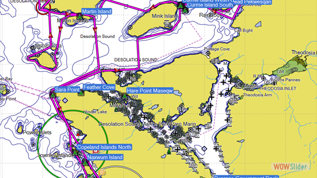
This year our destination was Desolation Sound (https://goo.gl/maps/ctc9HMtQjW52).
This is a favorite place for all the power and sail boaters
to go to in the summer.
We last paddled here in 2008 and had a great trip then, so going
back this year seemed like a no brainer. We had 9 paddlers on the
trip they were Cam and Will, Mike and Polly, Maureen, Sandee, Bob,
Conrad, and myself.
Conrad and I car pooled up and went a day early
to check out Skookumchuck Narrows (https://goo.gl/maps/rwGpK6zAmzP2)
which get some amazing tidal currents rushing through during the
high and low tides. It
was about a 5-mile roundtrip hike in and out.
We got there about an hour after high tide, we were in a
period of neap tides so the flow rate was fairly low but it was easy
to picture how the current would built here.
It ďmistedĒ for most of our visit there which was worrisome
because we were planning on camping there.
Nothing like starting with wet gear!! We opted to continue on
to Powell River and hope for less moisture and were rewarded with
dry weather when we arrived there at 9 PM.
We found a camp ground and then quickly headed for dinner.
We arrived in Lund the next day around noon and
scoped out the launch sites, parking, and other facilities for the
paddle. Weather had improved greatly and it was now sunny.
Conrad and I did a 2-hour paddle in the PM paddling south out
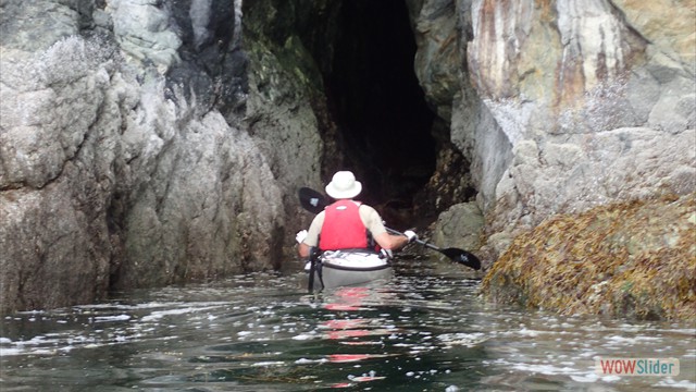
of Lund. Conrad found a
sea cave to explore along the route.
The rest of the gang showed up later that afternoon at the
cabin that Jim and Wanda had rented for us, sadly they couldnít make
the trip due to an injury, get well quickly Wanda!
We had a group dinner at the Boardwalk Restaurant that
evening.
We launched at 10 AM the following morning on
our trip.
Day 1
we paddled to North Copeland Island (https://goo.gl/maps/yEjL3X8Bv6n).
This was a short paddle about 4 miles, we arrived in an hour
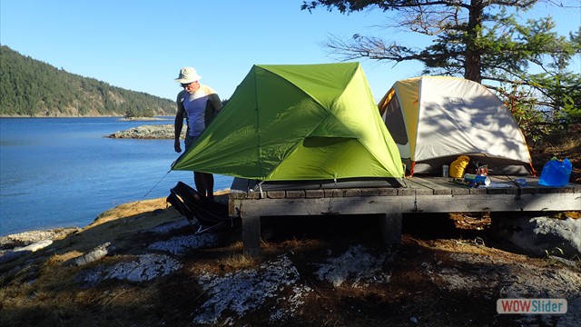
and found a couple of nice platforms to camp on with a great view.
After setting up camp we decided to do an afternoon paddle
and explored the area around the islands.
Sandee was convinced we could find ice cream, or a
restaurant, or both nearby since we could see a couple of marinaís
in the neighborhood, sadly they turned out to be private and no
visitors allowed.
Day 2
we paddled to West Curme Islands (https://goo.gl/maps/ZqeGM8NEvVU2)
we stayed here for 3 days and used it as a base camp.
The paddle was just over 9.2 miles and it took us about 3
hours. We were a tad
worried about finding a camp spot as we heard the area was pretty
busy. We could see
tents on several of the islands as we approached.
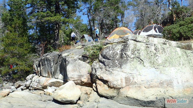
We really got lucky and found two platforms available for
camping, they were on the south side of the island right near edge
giving a great view.
The island had several other groups camping there.
We all squeezed in the campsite.
It was hot and we all ended up swimming that afternoon.
It wasnít long before Conrad and Mike started eyeballing the
oysters in the area!
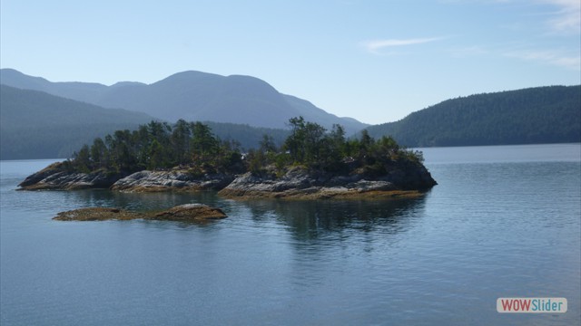
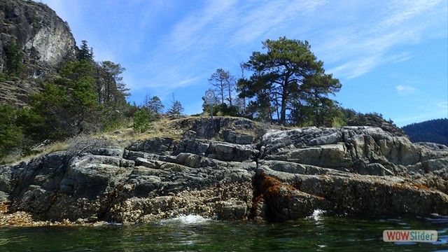
The island is mostly rocky with cliffs, there are a couple of places
to come ashore a small inlet on the north side and a rocky beach on
the south side, not bad at high tide but a struggle at low tide.
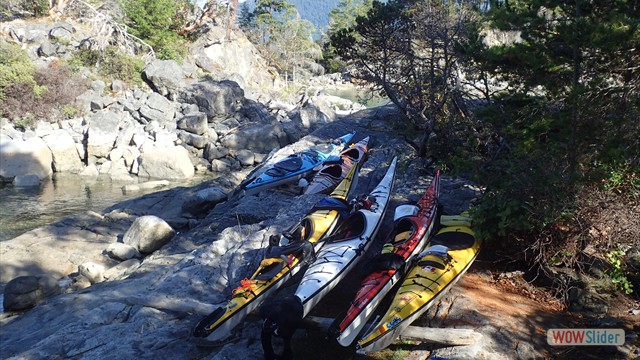
We have to wrestle the boats up onto the rocks for the
evening... great fun especially the doubles.
Day 3
we found out our neighbors were leaving so as soon as they cleared
their platform I moved my tent down to their platform.
This gave us a bit more room.
We did a day paddle exploring north around the islands up to
Prideaux Haven, this
is where most of the yachts hand out.
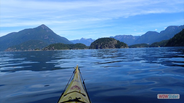
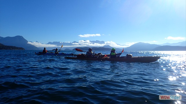
The scenery in this area is spectacular, we are surrounded by
mountains and water. We
paddle through 50-70 yachts anchored here, checking them outÖ with a
touch of jealousy... also glad we didnít need to worry about the $$$
this boats cost to own and operate. Pretty cool to look at.
We end up paddling just over 10 miles. We have a good swim
that afternoon. Mike is
making friends as usual and we end up meeting 3 Canadian women
paddlers out for a few days of paddling.
Day 4
another day tripÖ this
time to Unwin Lake (https://goo.gl/maps/ZMcf9Gwhep72),
time for a swim in freshwater and rinse off some of the salt.
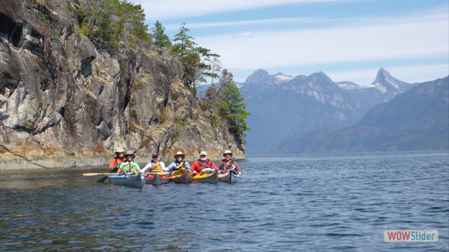
Itís another hot day! We paddle along the shore checking out
the cliffs and rugged shores.
This area has extremely rugged shores and in many cases
vertical cliffs, landing spots are extremely limited and donít
expect sandy beaches, weíre probably about a million years too
early! Itís about a
10-minute walk up to the lake and after some exploring we find a
rock to sit on at the lake shore, again no beachesÖ
we swim and have lunch here hanging out enjoying the water
and sun. After a couple
of hours, we pack up and head back.
We explore the shores of Tornedo Bay checking out the cliffs
and boats anchored there.
Itís another 10-mile paddle day.
We head back and end up swimming again, so much for the
rinse! We have our
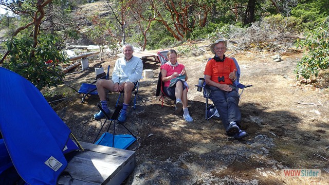
nightly happy hour, the Canadian gals join us and itís a fun evening
Day 5
time to pack we are headed to Martin Island (https://goo.gl/maps/Y3FZWKPyLWr),
this will be our base camp for the next 2 days.
Itís a short paddle to Martin, about 4 miles.
We find the campground empty and quickly setup camp.
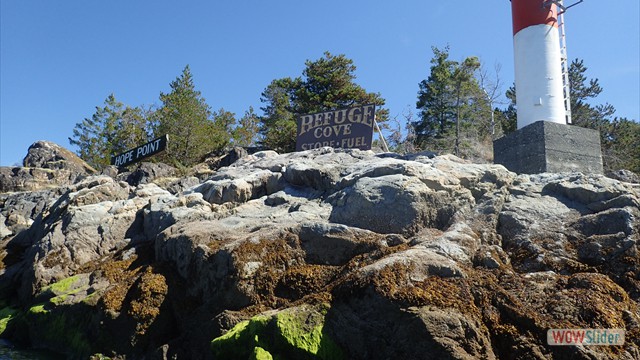
We have decided to paddle into Refuge Cove (https://goo.gl/maps/61f3ThGvrSE2)
for showers, cold beer, burgers, and, of course, ice cream!
Nothing like a refreshing shower, clean body, clean hair!
The burgers are goodÖthe beer cold!
Itís a nice stay!
We head back to Martin for the evening.
It getís windy that evening, nothing major probably a 10 kt
breeze. The wind isnít
enough to keep the mosquitos away!
Another happy hourÖand of course a dip in the waters, not as
warm here more water movement.
Day 6
we have a day paddled planned going around Kinghorn Island (https://goo.gl/maps/6vuiLd1Axd62)
and back. The wind is
still blowing as we cross, it has stirred up some waves but nothing
to major, just enough to keep you awake.
We paddle across to Station island and then paddle over to
Kinghorn, we paddle west around the island and stop at were the
campsite isÖ terrible beach, terrible campsite, would not recommend
it. We spot a large
group of kayakers ahead paddling the same direction as us.
We end up catching the group and find out itís a large tour
group they camped on Kinghorn the previous night and were heading to
another island for their next stay.
Kinghorn like all the other islands has a rugged shore and
the cliffs on south end must be about 400-500í high and vertical
right into water. We
are planning a lunch stop and keep looking, we find a rocky beach on
an island next to Station that we can stop at to eat, not ideal but
better than nothing. We
head back to Martin; our plan is to go back into Refuge in the PM.
Bob had opted to rest that morning and we met him at the
campsite and headed to Martin around 2 for another round of burgers,
beer, and ice cream and, for some, another shower.
We have a relaxing afternoon in Refuge and head back about
5:30.
Day 7
itís time to head back to Lund.
Be break camp and are ready to head off by 8:30!
We have a couple of paddlers in a hurry!
We have a little wind and wave action going across to Station
Island, again not too bad, just enough to get the decks wet.
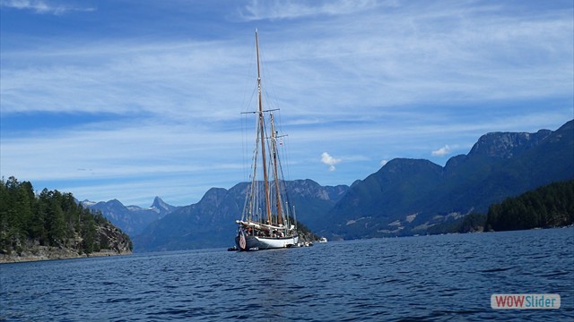
We have a large, 125-150í magnificent sailboat passes in
front of us on the way, itís under power and looks amazing.
The crew are all decked out in white.
Once we get into the shadow of Station the waters clam down
and stay that way for the rest of paddle.
We paddle along the east of Kinghorn and cross to Sarah Point
from there to North Copeland for a lunch stop and then through the
east side of the Copelands to Lund.
We arrive around 12 PM,
this last leg was about 11.2 miles,
we have a total of 75 miles paddled for the week.
Sandee and Maureen head off to Vancouver, the rest of back to cabin
and a shower. The group
ends up having dinner at the Laughing Oyster (http://laughingoyster.ca/)
a great restaurant!
Itís one of those jewels you just donít expect to find at the end of
the road. A great way
to end the trip.
|

 1
1 2
2 3
3 4
4 5
5 6
6 7
7 8
8 9
9 10
10 11
11 12
12 13
13 14
14 15
15 16
16 17
17 18
18 19
19 20
20
